FAQs – Vista UAV, LLC
After decades of public service, I founded Vista UAV, LLC not just to launch a business, but to launch a lifestyle of purpose and exploration. As full-time RV travelers, we serve clients across the country, bringing professional drone services to wherever they’re needed. Our mobile operations give us the flexibility to meet clients on-location — whether it’s a remote ranch in Texas, a real estate listing in the Rockies, or a construction site in the Midwest.

General Questions
We use a high-end commercial drone platform equipped with advanced camera and mapping technology. It’s built for professional-grade photography, videography, and aerial data capture.
Yes. Vista UAV is fully licensed under FAA Part 107 and carries commercial drone liability insurance for every flight mission.
Vista UAV is proudly based in Texas, but we operate nationwide. As full-time travelers, we offer drone services across the U.S. — wherever your project takes us.
Real Estate & Property Tours
Each package includes aerial photos, video flyovers, and optional editing. We tailor each session based on your property’s size and marketing goals.
Most shoots take 30–90 minutes on-site, depending on property size, location, and specific deliverables.
Event & Wedding Coverage
Yes — we follow FAA-approved procedures for flying over crowds, when permitted. We prioritize safety and compliance in every flight.
Not at all. We operate discreetly and coordinate closely with your planner or vendor team to stay out of the way while capturing the best angles.


Mapping & 3D Modeling
We serve construction, land development, engineering, and agriculture with services like 2D orthomosaics, 3D modeling, and stockpile volume analysis.
Our data is accurate to within a few centimeters depending on the environment and can be processed for use in GIS software, CAD programs, or planning platforms.
Vista UAV is proudly based in Texas, but we operate nationwide. As full-time travelers, we offer drone services across the U.S. — wherever your project takes us.
360° Panoramas & VR
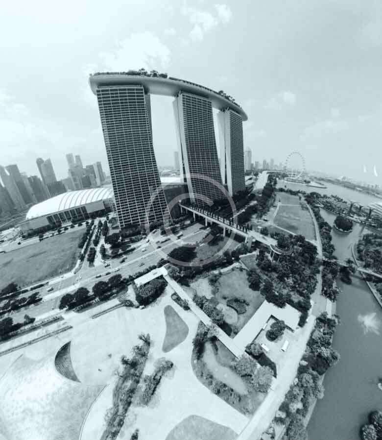
Our 360° drone panoramas allow users to look around interactively, but they are static panoramic photos, not walkable virtual tours.
Delivery & Editing
Files are delivered via secure download link or cloud drive (Google Drive, Dropbox, etc.). Turnaround time varies by project scope.
Yes — we offer full photo and video editing services, including color grading, branded overlays, music syncing, and formatting for web or social platforms.
Booking & Pricing
Pricing depends on the service, location, and scope. We provide clear, customized quotes after discussing your project needs.
Just head to our Contact Page or email us directly — we’ll walk you through the process and answer any questions.

