Precision from Above — Reliable Data You Can Build On
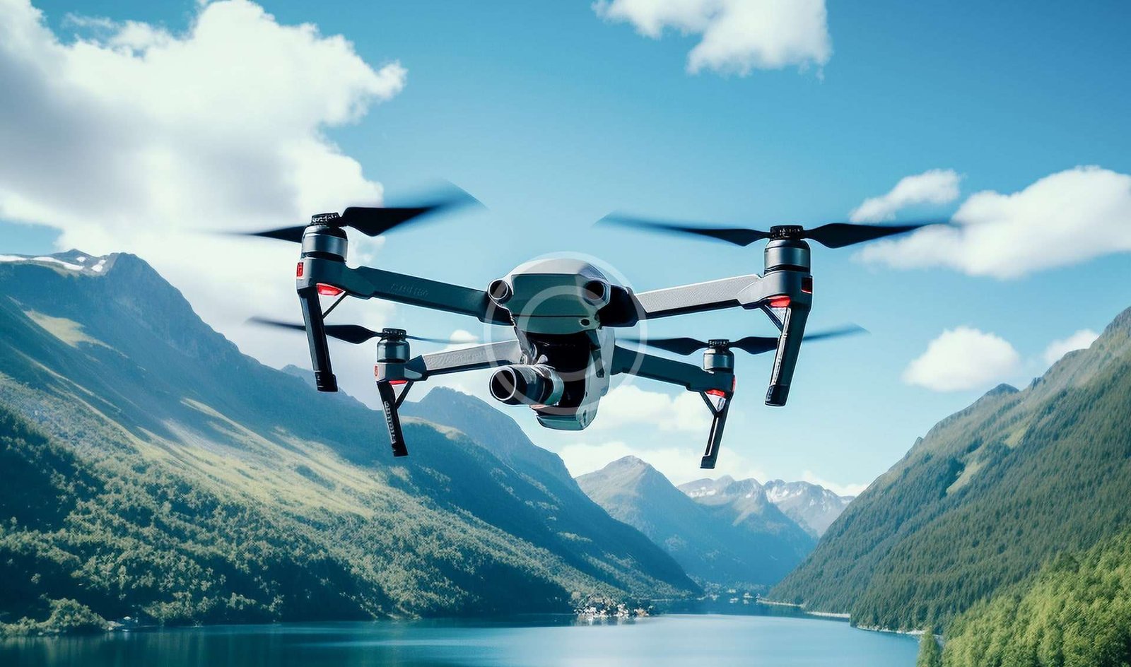
At Vista UAV, LLC, we offer professional drone mapping and 3D modeling services designed for construction, land development, engineering, and survey industries. Using high-resolution aerial imagery and advanced processing techniques, we create accurate maps, models, and measurements that deliver valuable insights for your projects.
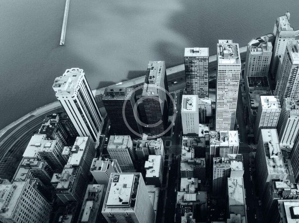
2D Orthomosaic Mapping for Large Areas
Our drone mapping flights capture hundreds of overlapping photos, processed into high-resolution 2D orthomosaic maps. These detailed maps are perfect for site planning, land surveying, construction tracking, infrastructure inspections, and agricultural assessments. You receive scalable, georeferenced data that integrates easily into your project workflows.

3D Modeling for Sites, Structures, and Stockpiles
In addition to mapping, we produce photorealistic 3D models of buildings, construction sites, terrain features, and stockpiles. This allows you to visualize sites from all angles, calculate volumes (ideal for dirt piles, aggregates, and material management), and document project progress with unprecedented detail.
Fast, Safe, and Highly Accurate
Drone mapping reduces time, costs, and risk compared to traditional ground surveys. Our pilots operate under strict FAA Part 107 compliance, using precise flight planning and GPS positioning for optimal accuracy. Whether you need a pre-construction survey, a site audit, or a volume measurement, we deliver reliable results — faster and more safely.
Turn Data Into Actionable Insights
At Vista UAV, LLC, we help you see your projects differently — and manage them smarter. Trust our mapping and modeling services to provide the detailed aerial intelligence your team needs to plan, build, and succeed.
👉 Contact Us Today to schedule your Drone Mapping or 3D Modeling project!